At Vinci Surveys, we provide professional Boundary Surveys throughout South Wales for homeowners, developers, landowners, solicitors, architects, and property professionals. Using modern surveying equipment and proven surveying techniques, we accurately measure existing site features and produce detailed plans that can be used for property transactions, development projects, planning applications, and boundary investigations.
Property boundaries are not always as clear as they appear on the ground. Fences, walls, hedges, and other physical features can move, be replaced, or differ from the legal boundary shown on historic plans. When uncertainty arises, a professional boundary survey provides the accurate information needed to understand the position of a boundary and support informed decisions.
Whether you are purchasing land, planning an extension, resolving uncertainty between neighbouring properties, or preparing evidence for legal professionals, our surveyors can deliver the precise data required.
What Is a Boundary Survey?
A boundary survey is a detailed measured survey that records the physical features defining the limits of a property. The survey identifies and accurately maps walls, fences, hedges, buildings, access routes, and visible boundary markers.
The information gathered is used to create a detailed plan showing the relationship between physical site features and available title information. This provides a clear understanding of the property’s layout and can highlight discrepancies that may require further investigation.
Boundary surveys are often used alongside title deeds, Land Registry documents, legal plans, and historical records to help property owners and professionals assess boundary positions with greater confidence.
When Do You Need a Boundary Survey?
Many property owners only realise they need a boundary survey when a question arises about ownership, development, or land use. However, obtaining accurate boundary information early can help prevent costly mistakes and delays.
Common reasons for commissioning a boundary survey include:
- Property purchases and sales
- Proposed extensions or new developments
- Land subdivision projects
- Fence or wall replacement
- Planning applications
- Boundary clarification
- Property management
- Legal and conveyancing requirements
- Development feasibility assessments
A professional survey provides accurate information before decisions are made, helping to reduce risk and improve project planning.
Call us today
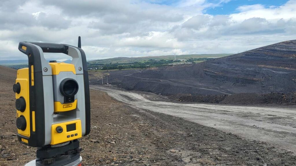
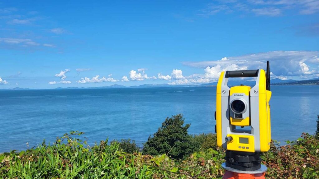
Accurate Surveys Using Modern Technology
Vinci Surveys uses advanced survey equipment to deliver highly accurate boundary information across South Wales.
Our surveyors utilise:
- Robotic total stations
- High-precision GPS equipment
- Digital mapping software
- Survey-grade measurement systems
- CAD drafting technology
This combination of technology allows us to capture detailed site information efficiently while maintaining excellent levels of accuracy.
The resulting plans provide a clear representation of existing boundary features and can be supplied in formats suitable for architects, developers, solicitors, planners, and other professionals involved in your project.
Supporting Residential Properties
Boundary surveys are commonly required by homeowners who want certainty before carrying out building work or making changes to their property.
If you are planning an extension, constructing an outbuilding, replacing a fence, or purchasing a property, understanding the location of boundaries can help avoid complications later in the project.
Our residential boundary surveys provide accurate measurements and professional plans that can be used to support planning applications, architectural design work, and property transactions.
Call us today
Accurate Surveys Using Modern Technology
Vinci Surveys uses advanced survey equipment to deliver highly accurate boundary information across South Wales.
Our surveyors utilise:
- Robotic total stations
- High-precision GPS equipment
- Digital mapping software
- Survey-grade measurement systems
- CAD drafting technology
This combination of technology allows us to capture detailed site information efficiently while maintaining excellent levels of accuracy.
The resulting plans provide a clear representation of existing boundary features and can be supplied in formats suitable for architects, developers, solicitors, planners, and other professionals involved in your project.
Supporting Residential Properties
Boundary surveys are commonly required by homeowners who want certainty before carrying out building work or making changes to their property.
If you are planning an extension, constructing an outbuilding, replacing a fence, or purchasing a property, understanding the location of boundaries can help avoid complications later in the project.
Our residential boundary surveys provide accurate measurements and professional plans that can be used to support planning applications, architectural design work, and property transactions.
Boundary Surveys for Commercial Projects
Commercial developments often require accurate boundary information before design and construction work begins.
Developers, architects, engineers, and landowners rely on boundary surveys to establish site extents, identify ownership limits, and assist with development planning.
Accurate boundary information helps ensure designs are based on reliable site data, reducing the risk of disputes, redesigns, and construction delays.
Whether the project involves a single commercial unit or a large development site, Vinci Surveys can provide the detailed information required to support the project.
Boundary Survey Deliverables
Following completion of the survey, clients receive a professional drawing showing the measured boundary features recorded during the survey.
Depending on project requirements, deliverables may include:
- Boundary survey plans
- Site layout drawings
- CAD files
- Digital mapping data
- Coordinate information
- Survey control data
- PDF drawings suitable for planning and design purposes
We work closely with clients to ensure the final deliverables meet the specific requirements of the project.
Why Choose Vinci Surveys?
At Vinci Surveys, we understand the importance of accurate data. Our experienced surveyors combine technical expertise with modern equipment to deliver reliable information that clients can trust.
Clients choose Vinci Surveys because we offer:
- Professional and experienced surveyors
- High levels of survey accuracy
- Modern surveying technology
- Fast turnaround times
- Clear and detailed survey drawings
- Competitive pricing
- Friendly and responsive service
Our goal is to provide the accurate information needed to help projects progress smoothly and efficiently.
You may also wish to view our:
Land Surveying – accurate measurements and boundary checks
Topographical Surveys – accurate mapping of external land features
FAQs About Measured Building Surveys
A boundary survey is a detailed measurement survey that records the physical features marking the limits of a property, such as fences, walls, hedges, and buildings. The survey produces an accurate plan showing their location and relationship to the property.
A boundary survey provides accurate measurements and plans of existing site features. Legal ownership and boundary determination may require consideration of title deeds, Land Registry records, and legal advice in addition to the survey data.
Boundary surveys are commonly required for property purchases, extensions, planning applications, land sales, fence replacements, development projects, and situations where boundary positions need clarification.
Vinci Surveys uses professional-grade GPS equipment, robotic total stations, and modern surveying technology to achieve high levels of accuracy suitable for planning, design, and property-related projects.
The time required depends on the size and complexity of the site. Smaller residential properties can often be surveyed within a few hours, while larger sites may require additional time for both fieldwork and drawing production.
Yes. Following the survey, you will receive a professional plan showing the measured boundary features. Plans can typically be supplied in PDF and CAD formats depending on project requirements.
Yes. A boundary survey provides accurate information about property limits before design or construction work begins, helping architects and builders work from reliable site data.
Yes. Vinci Surveys provides boundary surveys for residential properties, commercial premises, development sites, industrial land, and larger construction projects across South Wales.
We provide Boundary Surveys throughout South Wales, including Cardiff, Newport, Swansea, Bridgend, Caerphilly, Merthyr Tydfil, Pontypridd, and surrounding areas.
The cost depends on factors such as property size, site complexity, accessibility, and the level of detail required. Contact Vinci Surveys for a free, no-obligation quotation tailored to your project.
Boundary Surveys Across South Wales
Vinci Surveys provides Boundary Surveys throughout South Wales, supporting residential, commercial, and development projects of all sizes.
Whether you require a survey for a private property, development site, commercial premises, or land transaction, our team can provide the accurate measurements and professional plans you need.
Call us on 07951 943789, email [email protected], or use our contact page