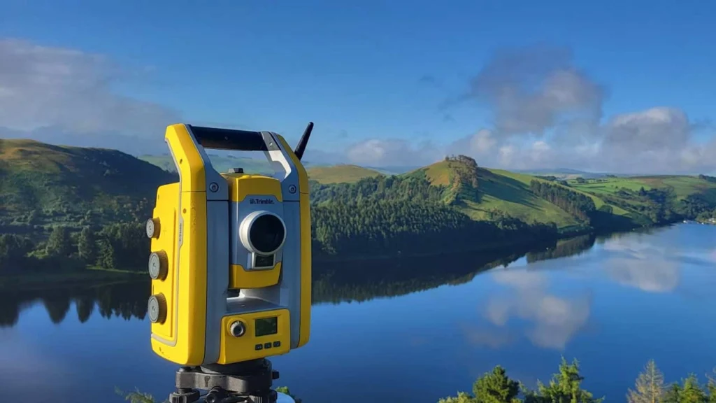
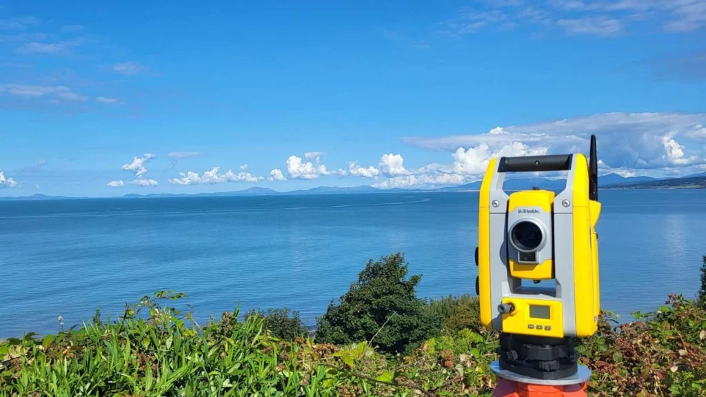
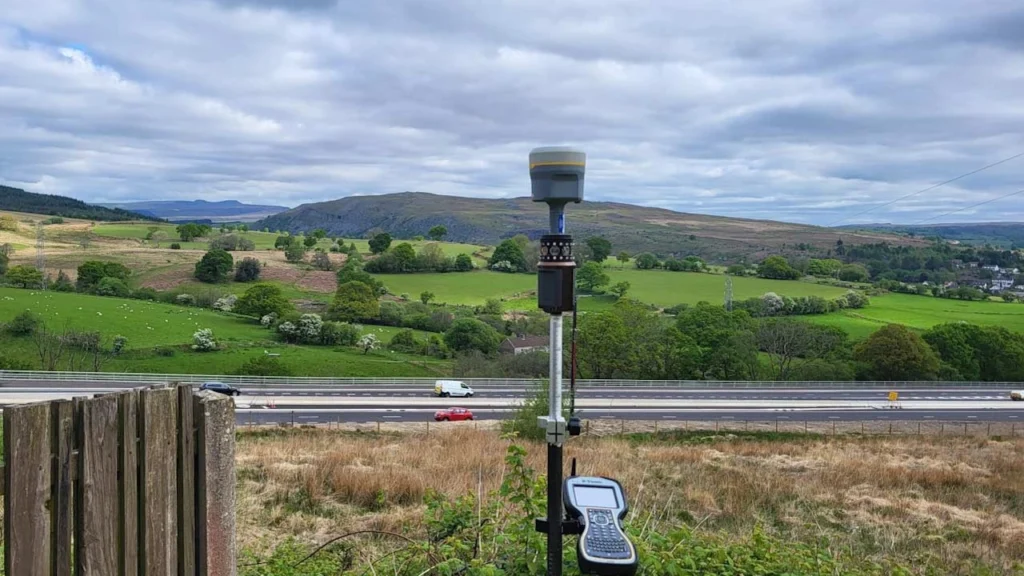
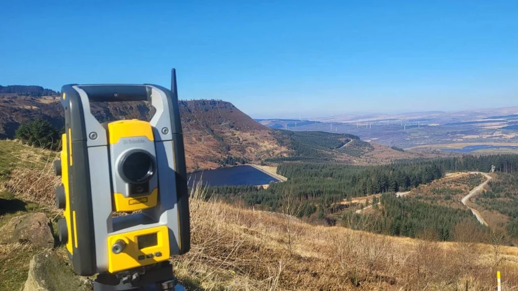
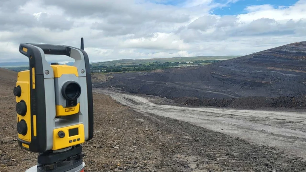
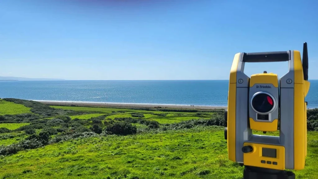
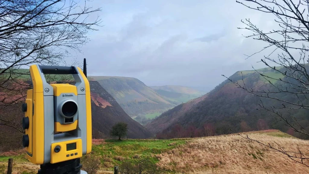
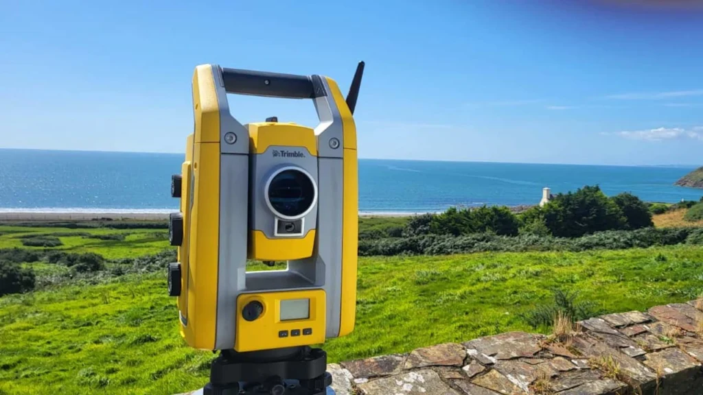
Vinci Surveys Ltd provides professional land surveying, topographical surveys, measured building surveys, and setting out services across South Wales, Herefordshire, Bristol, and surrounding areas.
Vinci Surveys works with homeowners, architects, and construction professionals across South Wales, Newport, Cardiff, Swansea, Hereford, Bristol, and the surrounding region.
What Our Customers Say:
Sean is approachable and friendly but also knowledgable & professional. He came out to my building plot at short notice after a highly competitive quotation. The turnaround was fantastic and I received my survey that evening. Can’t recommend Vinci surveys highly enough. Very happy.
Sean from Vinci Surveys was excellent and extremely helpful. Sean provided an up and above service. We had a complex project which Sean was very helpful with and very knowledgeable. Will be using again and would highly recommend.
I've used Sean a number of times on renewable energy projects and cant compliment him and his business enough. Extremely punctual and a fast turnaround and he was able to fit me in at short notice to avoid down time on site. I highly recommend Sean for setting out and surveying works.
Scan the QR code, or click the link to leave a review:
We use cookies on our website to give you the most relevant experience by remembering your preferences and repeat visits. By clicking “Accept”, you consent to the use of ALL the cookies.
This website uses cookies to improve your experience while you navigate through the website. Out of these, the cookies that are categorized as necessary are stored on your browser as they are essential for the working of basic functionalities of the website. We also use third-party cookies that help us analyze and understand how you use this website. These cookies will be stored in your browser only with your consent. You also have the option to opt-out of these cookies. But opting out of some of these cookies may affect your browsing experience.
Necessary cookies are absolutely essential for the website to function properly. This category only includes cookies that ensures basic functionalities and security features of the website. These cookies do not store any personal information.
Any cookies that may not be particularly necessary for the website to function and is used specifically to collect user personal data via analytics, ads, other embedded contents are termed as non-necessary cookies. It is mandatory to procure user consent prior to running these cookies on your website.