Topographical surveys in South Wales provide a detailed record of natural and man-made features across a site. They are essential for architects, planners, and developers who need an accurate understanding of a site before work begins.
Vinci Surveys offers topographical surveys across South Wales and areas of the West of England, covering areas such as Cardiff, Newport, Monmouth, and Brecon. Our experienced team delivers accurate data that supports confident planning and development.
What is a Topographical Survey?
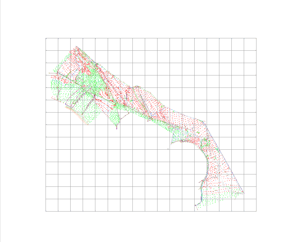
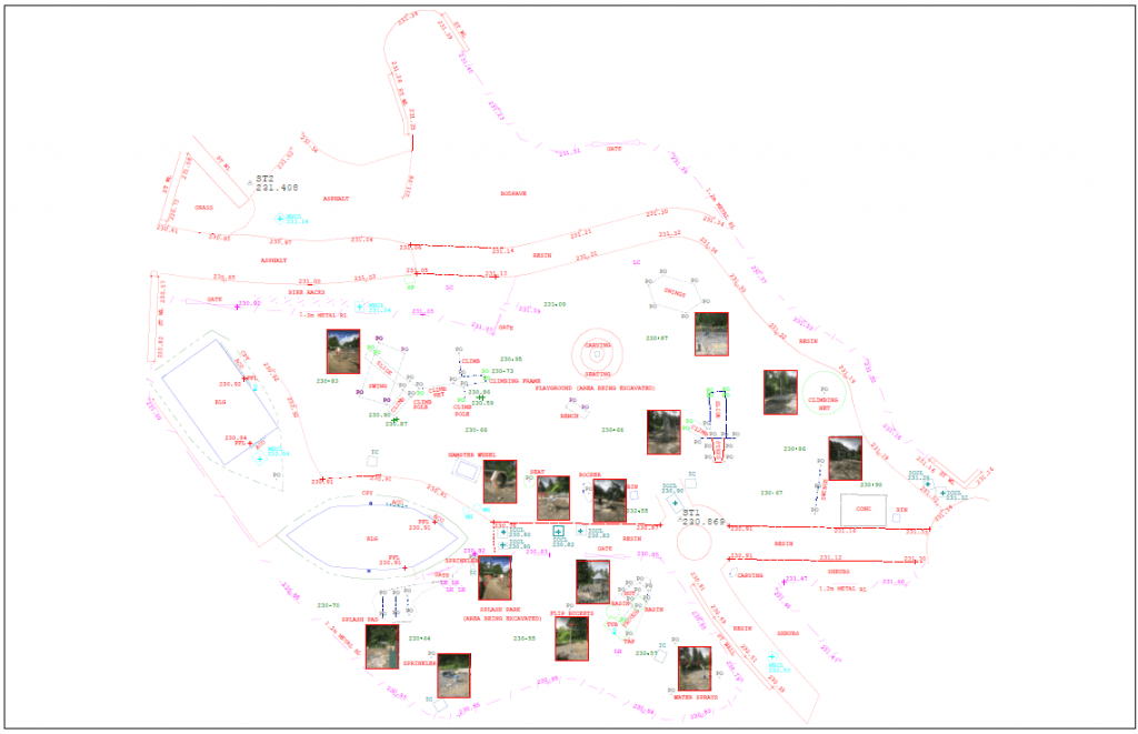
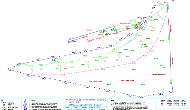
A topographical survey, sometimes known as a land survey, maps out the physical features of a site. This includes:
Boundaries and fences
Existing buildings and structures
Trees, vegetation, and water features
Roads, paths, and access points
Service covers and visible utilities
Changes in ground levels
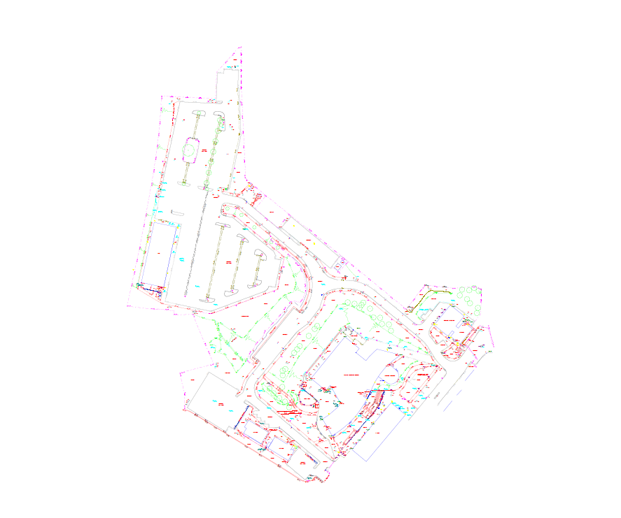
The results are presented in detailed drawings or digital files, providing a clear picture of the site’s opportunities and constraints.
Call us today
Why Topographical Surveys Matter
The accuracy of topographical surveys reduces the risk of errors during design and construction. Local authorities often request topographical survey data as part of planning applications, making them a vital step in the development process.
Benefits include:
Early identification of site challenges
Reduced risk of costly re-designs
Clear data for architects and engineers
Greater confidence in planning applications
Why Choose Vinci Surveys
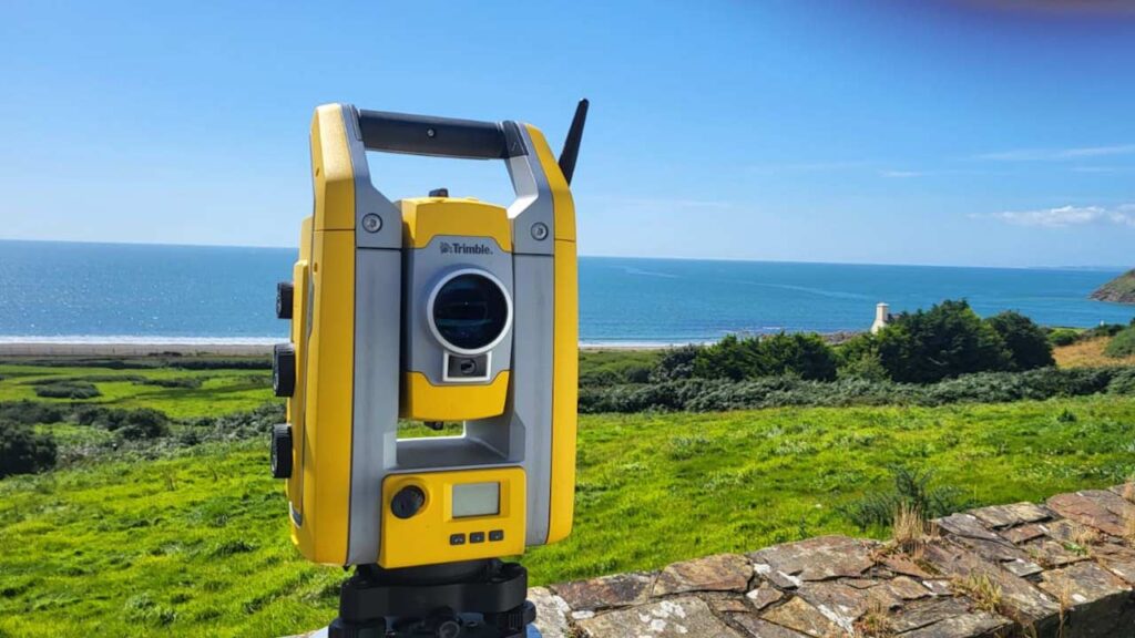
At Vinci Surveys, we combine modern surveying equipment with extensive experience across South Wales. Our topographical surveys are known for accuracy, clarity, and reliability.
Key advantages of working with us include:
Coverage across South Wales within 50 miles of Abergavenny
Detailed drawings that meet planning requirements
Fast turnaround to keep projects on schedule
Friendly, professional team with local knowledge
Clear communication throughout the process
If you need topographical surveys in South Wales, Vinci Surveys is here to help. Contact us today for a free consultation.
Vinci Surveys – trusted for topographical surveys across South Wales.
Contact Us as shown below, or click here to email us
Call us today
FAQs About Topographical Surveys
Yes, most planning applications require accurate mapping to support design drawings.
It depends on the site size and complexity, but smaller residential plots can often be completed within a day.
Yes, we provide digital files in formats that suit your design team, including CAD and PDF.
Yes, our service covers the full 50-mile radius around Abergavenny, including rural sites and farmland.
