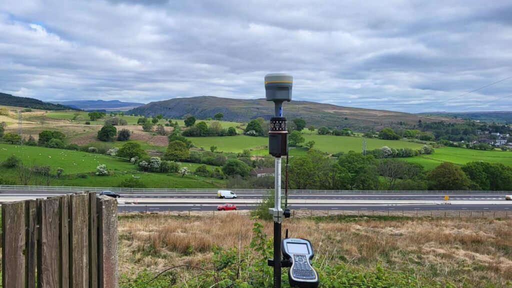
GPS surveys in South Wales are used to capture highly accurate spatial data using satellite positioning. They are particularly effective for large-scale projects, infrastructure works, and utility mapping.
At Vinci Surveys, we deliver GPS surveys within a 50-mile radius of Abergavenny, serving areas such as Cardiff, Newport, Merthyr Tydfil, and Monmouth. Our expertise ensures precise and dependable results every time.
What is a GPS Survey?
A GPS survey uses signals from satellites to calculate exact positions on the Earth’s surface. This technology allows surveyors to map wide areas quickly and accurately.
Reliable positioning data is vital for infrastructure and development projects. Without accurate mapping, projects risk errors, delays, and disputes. GPS surveys provide:
Fast coverage of large areas
Cost-effective data capture
High accuracy suitable for planning and construction
Reliable results that can be integrated into mapping software
Why Choose Vinci Surveys
Vinci Surveys combines the latest GPS technology with extensive field experience across South Wales. Our team understands the challenges of working in urban, suburban, and rural environments, and we adapt our approach to suit each site.
Key reasons to choose us:
Local coverage within 50 miles of Abergavenny
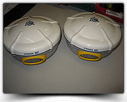
State-of-the-art GPS equipment
Flexible outputs to match client needs
Experienced team with proven results across infrastructure and utilities
It depends on the site size, but the speed of data capture makes GPS a very efficient method for larger sites.
We use cookies on our website to give you the most relevant experience by remembering your preferences and repeat visits. By clicking “Accept”, you consent to the use of ALL the cookies.
This website uses cookies to improve your experience while you navigate through the website. Out of these, the cookies that are categorized as necessary are stored on your browser as they are essential for the working of basic functionalities of the website. We also use third-party cookies that help us analyze and understand how you use this website. These cookies will be stored in your browser only with your consent. You also have the option to opt-out of these cookies. But opting out of some of these cookies may affect your browsing experience.
Necessary cookies are absolutely essential for the website to function properly. This category only includes cookies that ensures basic functionalities and security features of the website. These cookies do not store any personal information.
Any cookies that may not be particularly necessary for the website to function and is used specifically to collect user personal data via analytics, ads, other embedded contents are termed as non-necessary cookies. It is mandatory to procure user consent prior to running these cookies on your website.